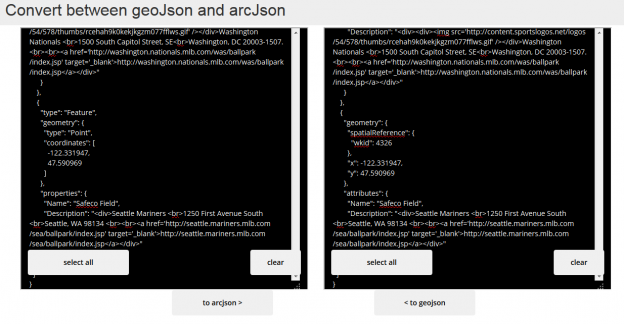
I put together a simple geo-converter a while back (and posted about it) that converts geojson to arcjson\esrijson. I needed it to get some polygons in an arcgis feature service. I have updated that converter to also convert from arcjson to geojson as well. I used it to pull arcjson from an ArcGIS Feature Service via a query against the REST API and convert the results to geojson.
The geoconverter tool
http://brightrain.github.io/geoconverter/
I pulled the arcjson formatted data from City of Fort Collins ArcGIS web services
A query against the Neighborhoods layer, like so:
http://gis.fcgov.com/FTCArcGIS/rest/services/FCMaps/MapServer/17/query?returnGeometry=true&geometryType=esriGeometryEnvelope&geometry={%22xmin%22%3a-122%2c%22ymin%22%3a40%2c%22xmax%22%3a-80%2c%22ymax%22%3a50%2c%22spatialReference%22%3a{%22wkid%22%3a4326}}&inSR=4326&spatialRel=esriSpatialRelIntersects&where=%28HOODDESC+IS+NOT+NULL%29&outSR=4326&outFields=*&f=json
Results into the geoconverter
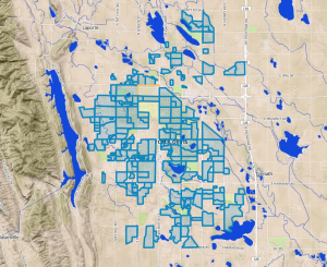
Created a MapBox map with it
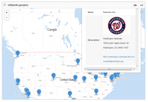
And here’s some geojson to try out, Major League Baseball Stadiums

raw data
Play ball!


